As I have made clear before, I am not an extreme athlete. Skiing to me is not about big, steep lines. It is about exploring beautiful places in the snow. My friend Jonathan and I like to try to get out every spring to find relatively moderate ski tours to some of these places. Often the snow is warm and mushy; the approaches can be ugly – like the time we ended up hiking over 3 miles with our skis on our backs when a boulder blocked the Hart’s Pass road short of the normal closure. Somehow, perhaps because of these things rather than in spite of them, I find them to be hugely rewarding.
I want to explore the Blewett Pass area more, and after consulting maps and Google Earth, I identified a potential tour. I knew it was late in the year for that area, but we kept a flexible agenda for the weekend, so we left Seattle Friday after traffic cleared out and headed up to Blewett Pass to find out if there was any good skiing left. We coaxed Jonathan’s Mazda up Tronsen Meadow Road until it was barricaded at about 4300ft, not far from the trailhead for Tronsen Ridge (#1205). The north slopes of Diamond Head and Windy Knob were still holding some snow, but it didn’t look great, and it was obvious we wouldn’t hit any snow on our trail until at least the ridge, so we decided to just hike.
We found only a very faint trail where it was indicated on the 2016 USFS map. It was obvious it hadn’t been used in a very long time, but the terrain was pretty open, it was a beautiful afternoon and we decided to head up anyway. After gaining a couple hundred feet we intersected a well-used trail. With no other trails marked on the and figured maybe the trail had been relocated at some point. We followed it up to the ridge where we finally found some snow.

North side of Windy Knob, near Diamond Head at Blewett Pass.
Even though we were in our light hikers, we decided to continue exploring anyway, and we followed the Mt Lillian trail 1601 until it headed into the trees where the sun hadn’t melted it and the snow looked pretty continuous. We backtracked a couple hundred yards and followed a 4WD road north along the ridge. We would break through occasionally, but the rapidly expanding views enticed us on. We entered a burn area from the massive, 42,000+-acre Table Mountain Complex fire in 2012.
The burned forest was a fantastical landscape rendered in black and white. It was easy to imagine it as the scorched aftermath of a fantastical dragon battle.
We continued out to a high point at just under 6000 ft. We had a good look into the Table Mountain plateau, and to the Stuart and Teanaway peaks where we would spend the rest of the weekend skiing. On the way out we followed the main trail and discovered that the trailhead had in fact been moved – apparently some time ago – to the end of the road.
We dodged the pothole minefields on the Teanaway River Road and camped at Beverly Camp. We found a great site right next to the river. Over a dinner of noodles with peanut sauce and asparagus we discussed our plans for the next day and settled on Bean Creek basin. We went to sleep with the sound of the rushing river creating a white-noise background. At one point I woke up completely disoriented, wondering where the loud roaring was coming from before remembering where I was.
After a quick breakfast at 5:30am we packed for the day’s tour. After a short, bumpy drive to the trailhead we put skins on skis, loaded them on our packs, applied a coating of sunblock and hit the Beverly Turnpike trail.


The first challenge to entering the basin is the creek crossing. It wasn’t quite cold enough to freeze overnight, so there was plenty of water in Bean Creek, making the crossing a little adventurous.

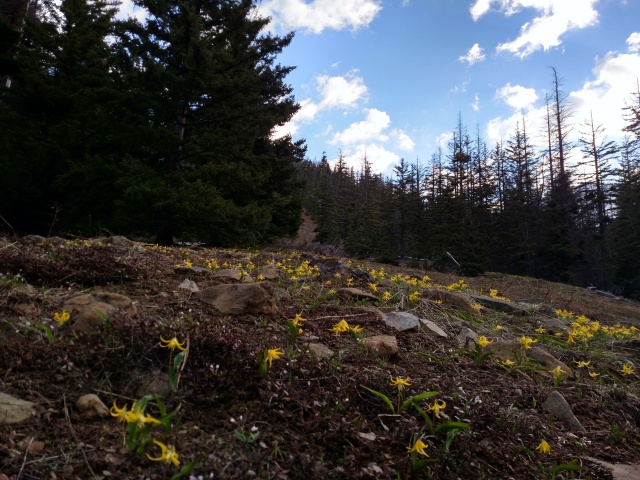
The delicate avalanche lillies were in full bloom.
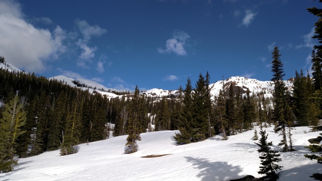
We finally got to put on our skis at about 4700 ft as you enter the basin proper. While there were many tempting slopes to ski, including the large west face of Earl Peak, we decided to head for Mary’s Peak at the west end of the basin.

Mary’s Peak is in the center at the head of the basin.
The weather was giving us periods of overcast and sun, which was a good thing for us since it helped prevent the snow from getting cooked too early.

Looking SE with the west face of Earl Peak in the background.

By the time we hit the 6700ft summit a little before 11am, it was windy and cold with clouds roiling around the peaks, obscuring the tops of the Stuart Range peaks.

Obligatory summit shot with Mt Stuart in the clouds
After a brief snack and summit photos, it was time head down. From here we discussed descending along the ridge toward the low pass between Fourth Creek/Beverly Creek and making a loop by returning via Beverly Creek, but we decided the better run was back the way we came, so we ripped our skins pushed off.

My line off the top took me through a fairly steep (~40 degree), short pitch between the rocks below and to the right of the skyline trees in the above photo. I set of a small, slow-motion surface slough that slithered down the slope behind me.
Beyond that fist pitch, the descent down the basin was a very enjoyable, if somewhat gloppy run. By the time we descended 1000 ft the sun was out again and we stopped for a real lunch in the sun and admired the view.

On the way out of the basin we managed to ski a couple hundred feet lower than we hiked in, but soon we were pounding the trail again, lounging in camp, and enjoying a cold beverage next to the river.
In past years Jonathan and I have done tours up to Longs Pass, Ingalls Pass, and Fortune Peak. We had also gone up to Gallagher Head Lake on snowshoes on a bad weather day. However, neither of us had ever gone up to the pass at the head of Esmeralda Creek, so we decided to make that Sunday’s goal. We had no idea if the skiing would be any good, so there was some chance we would be taking our skis for a long walk
At this time of year the road is not usually open up to the Ingalls Pass trailhead, so it was not really a surprise to find it closed at the Iron Peak trailhead. So once again, we loaded the skis on our pack and trudged up the road.
 18 inches of snow still covered the summer parking area, but coverage on the trail was discontinuous for a while, so we hiked for the first
This proved to be a good choice, because the Esmeralda trail is crossed by literally dozens of small creeks. We eventually put on our skis at about 4400ft. Due to a good snowpack and a prolonged cool period this spring, most of the creeks had adequate snow bridges, but with the warm weather the previous couple of days and the expected very warm weather Sunday, they were melting out fast. As we moved up the valley, several were open and involved taking skis off and on.
But the Esmeralda Creek valley is indescribably beautiful, so there was no way this was going to be an obstacle to enjoying such a spectacular day in the Cascades. We were rewarded as views continued to open and provide new perspectives on Esmeralda and Fortune Peaks, Iron Mountain, and the vistas revealing themselves the higher we went.

View down Esmeralda Creek valley. Iron Mountain on the left, Esmeralda Peaks on the right.

Approaching the pass at 6000 ft Hawkins Mountain comes into view.
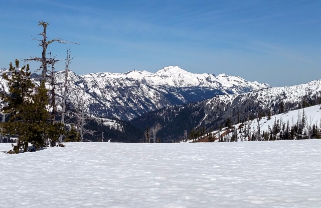
Reaching the pass offered a mindblowing view to the Northwest toward Mt Daniel/Hinman and the Chikamin/Overcoat peaks.

Several sets of deer tracks led us to this view.
Rising another 600 feet just north of the pass is a gentle summit which promised even more spectacular views and a beautiful lightly gladed ski run back to the pass.

W face of Fortune on the right. We skied the bump on the left.
So after lunch in the sun admiring yet another supreme vista, including a peek of Mt Rainier over the shoulder of Hawkins Mountain we continued skinning up to the summit.

A summit offering from previous visitors.
We descended a slightly westerly aspect back to the pass where the snow was slightly less mushy, then pointed our tips down the sun-baked southeast slopes into the Esmeralda Creek valley. By keeping a little higher line than the approach we managed to avoid some of the worst crossings, but eventually the skis went back on the pack and it was time to hike out, where we noted that some of the skinable snow along the edge of the road in the morning had vanished into the spring mud.
